Creating REALLY unique terrains with GeoGen
OpenSim allows you to use your own height maps to create a terrain.
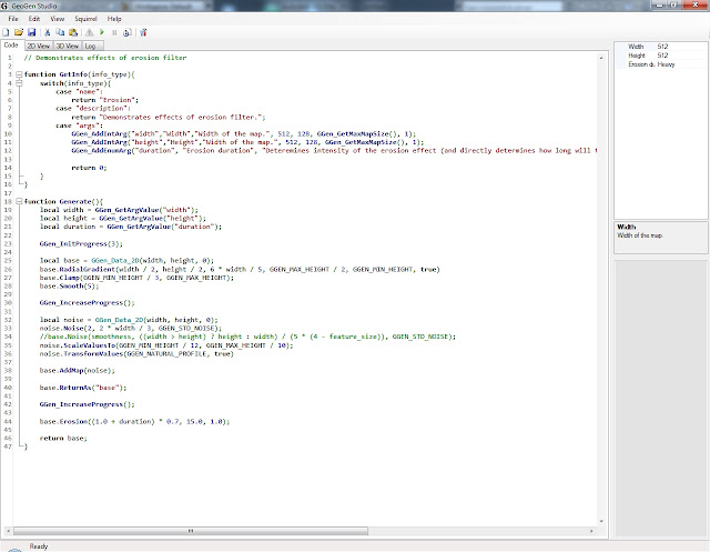
With the GeoGen, it is possible to create absolutely unique height maps using a script.
Based on the displayed image, you can change the script, achieving the best result.
The resulting height map can be exported in 4 common formats.
In the graphical editor, you can prepare an height map for server requirements. (For example, overlay the blur effect so that the vertices are not too sharp).
Also, the height map can be used in a 3D editor.
The Final result looks fine.


Comments
Post a Comment